
ROMDAS™ Pavement Measurement, FOD Montioring System
Introducing ROMDAS™, a new integration to our Digital Airfield Solutions offering/
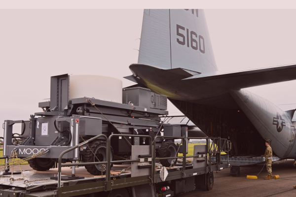
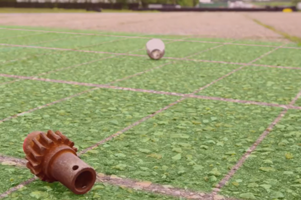
Airfield pavements degrade over time, resulting in runway unavailability and debris generation. Moog’s ROMDAS Airfield Pavement Measurement and Foreign Object Debris (FOD) Monitoring System includes sensors that scan airfield pavements to identify degradation trends and flag time-sensitive interventions.
Tarsier: Next Level Airport Runway Surveillance
Tarsier's advanced, all-weather technology radar system guarantees runway inspection even in inclement and harsh weather conditions. Whether operating Tarsier in high temperatures, sandstorms, or at an airfield that encounters frequent fog, Tarsier is the only runway surface management system that can operate and detect foreign object debris in zero visibility conditions.
Pavement Monitoring
DAS includes sensors that scan airfield pavements on a regular basis, to identify degradation trends and flag time-sensitive interventions.
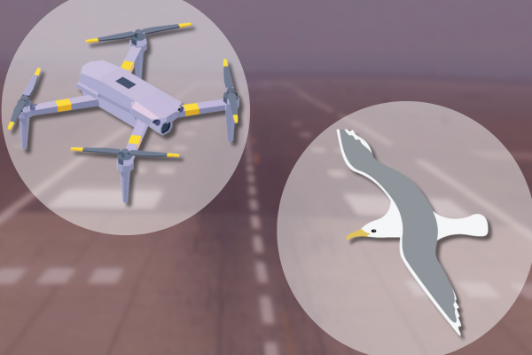
Bird & Drone Detection
We provide services to help our customers identify the best radar application for their needs. We then integrate it with our MADs or other operating systems.
*Check Yes on the form for 'Bird and Drone Detection.'
DCL Acquisition
In October 2023, Moog Inc. acquired Data Collection Limited (DCL) in Auckland, New Zealand, a leading global supplier of pavement surveying equipment.
DCL and its Road Measurement Data Acquisition System (ROMDAS) product line will be operated as a part of Moog's Military Aircraft Group's mission systems to support our Digital Airfield Solutions product line. Read the press release here.

Videos
Tarsier® for F-35
Automatic Runway FOD Detection System for Military Airfields.
Digital Airfield Solutions
for Commercial Airfields.
Digital Airfield Solutions
for Military Airfields.
All images are public domain. The appearance of U.S. Department of Defense (DoD) visual information does not imply or constitute DoD endorsement..